


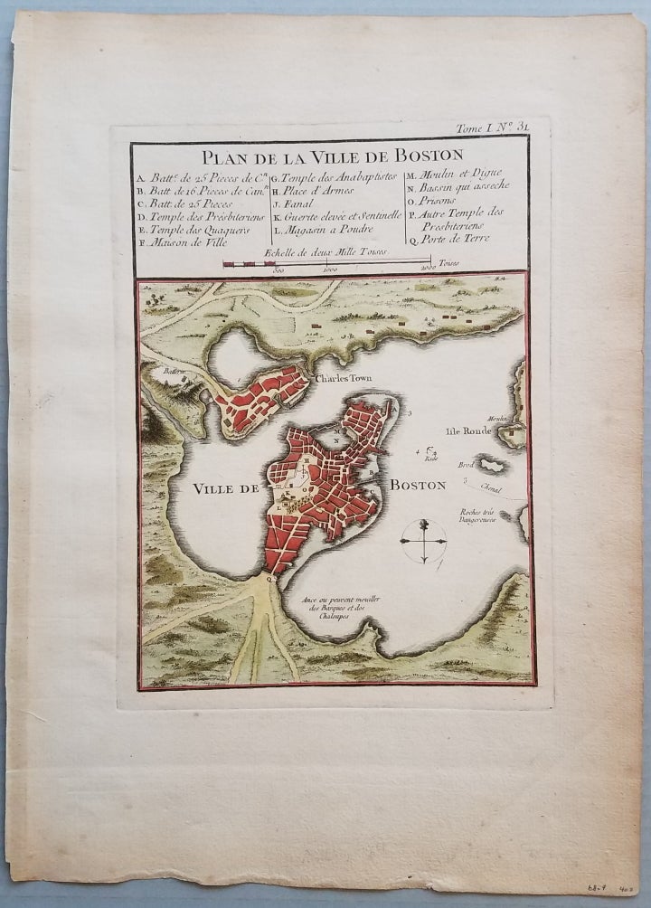
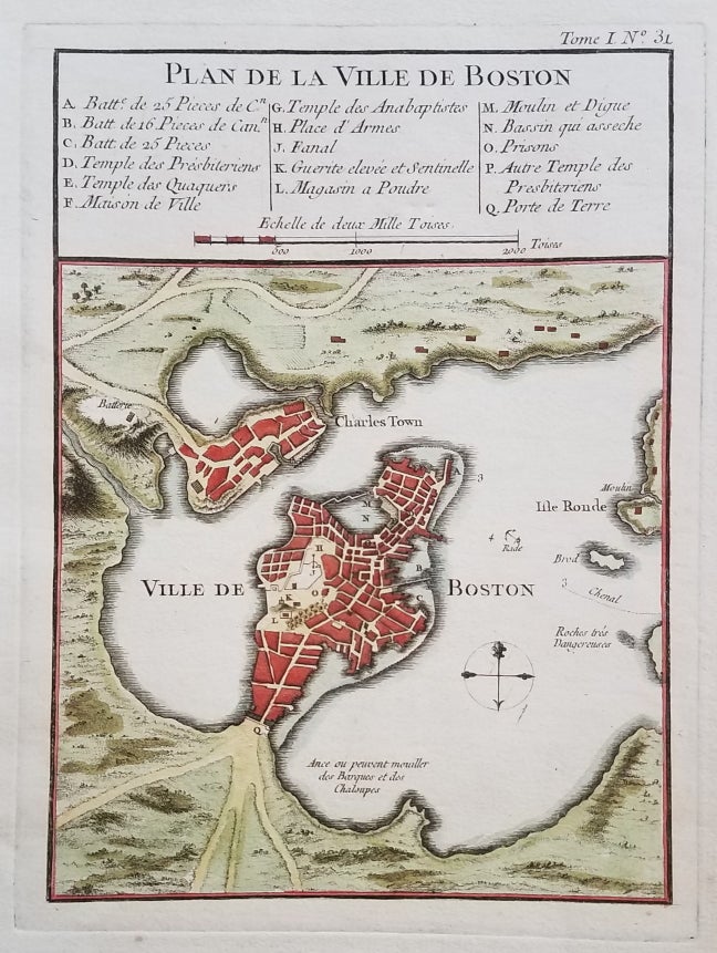
Plan de la ville de Boston.
[Paris.]: from Petite Atlas Maritime. [1764.]. 8 ½ x 6” plus margins. . Very good. Clear, dark impression with attractive hand color. Age toning at the edges. Wide margins. Crease in lower right margin outside of platemark. Item #3740
A classic map of Boston and the immediately surrounding area from near the end of the French & Indian War. The map appeared in Bellin’s Petit Atlas Maritime in 1764. A 16-item legend above the map identifies various public buildings, churches and fortifications.
[ICN 7512.3].
Price: $450.00
See all items in
Maps & Charts
See all items by Boston., Jacques Nicolas Bellin