


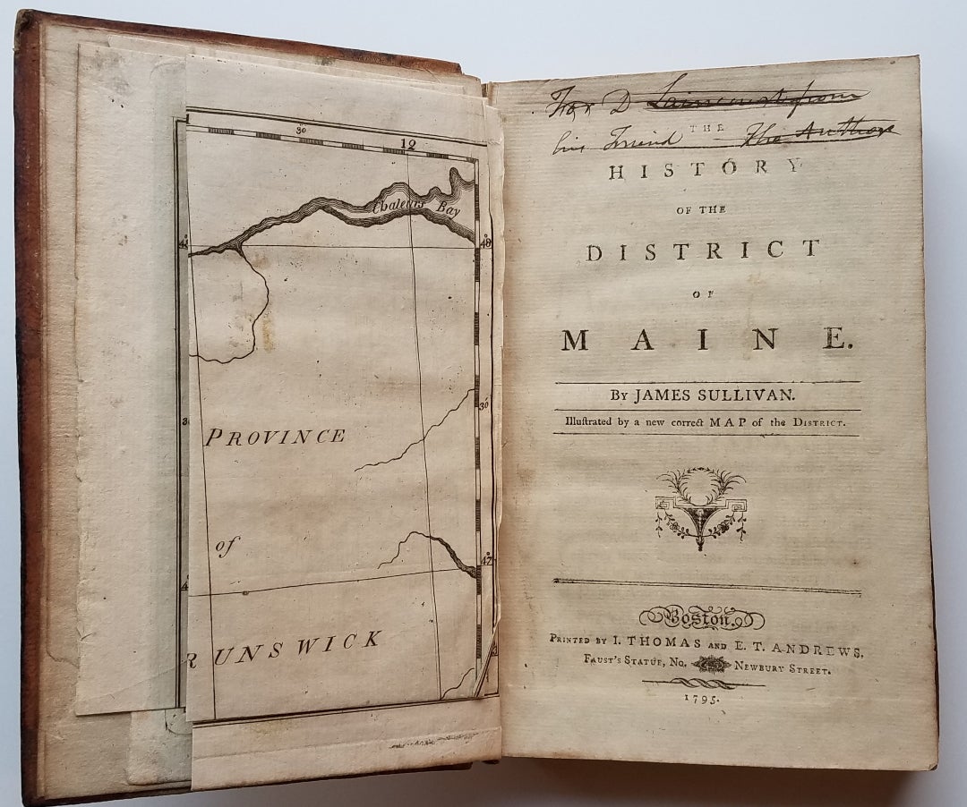
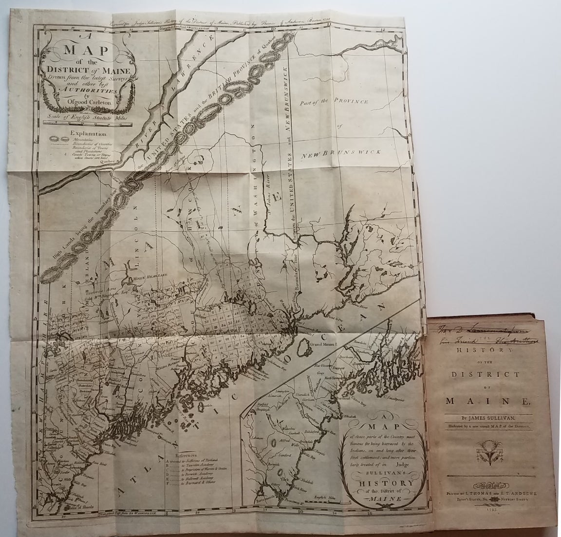
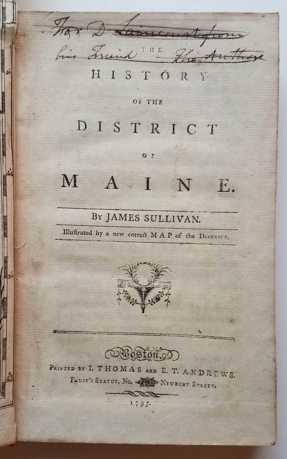
The History of the District of Maine....Illustrated by a new correct Map of the District.
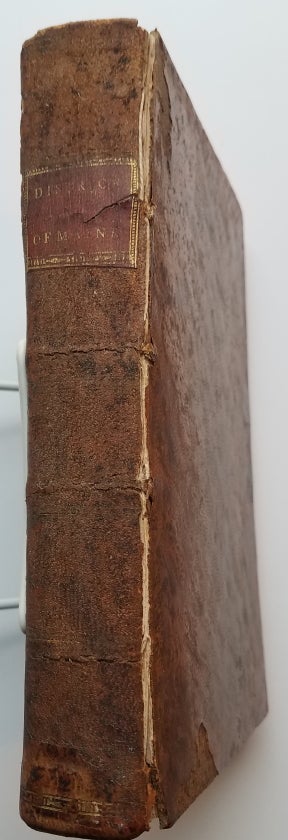
Boston: Printed by I. Thomas and E.T. Andrews, 1795. With folding map frontispiece.Original full calf with worn red title label. Boards scuffed and bumped with areas of abrasion; joints cracked. Text block is very tight. Occasional light foxing and staining throughout. The map is in remarkably good condition, especially in comparison to the usual state in which it is found. Trimmed close as usual along the binding edge. A sharp, dark impression with minimal foxing or offsetting. Item #3739
This is the first general history of Maine, written in the post-Revolutionary War time period that saw several state histories published, including those by Belknap, Jefferson and Ramsay. Despite its distinctly chilly initial reception and the less than impressive editorial standards, Sullivan's History is a cornerstone work in any collection of Maine material.
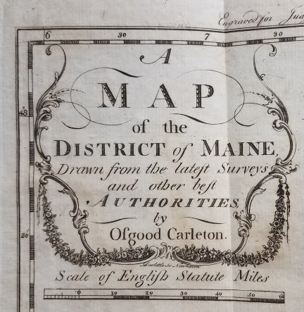
The History includes as the frontispiece Osgood Carleton's A Map of the District of Maine Drawn from the latest Surveys and other best Authorities by Osgood Carleton. The map, measuring 20 5/16 x 16 3/8", includes an inset titled A Map of those parts of the Country most famous for being harassed [sic] by the Indians. Carleton's map was the most detailed done of Maine to that time.
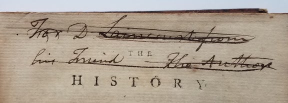
At the head of the title page is an inscription which has been lined out: "For D. Laincourt[?] from his Friend, the Author."
References: Evans: 29589. Howes, USiana: S-1122. Sabin: 93499. Williamson, A Bibliography of the State of Maine: 9608. Thompson: Important Maine Maps, Books, Prints and Ephemera: 18A. For the map: Wheat & Brun, Maps and Charts Published in America before 1800: 171. McCorkle, New England in Early Printed Maps, 1513-1800: Me795.1.
[ICN 7660.3.].
Price: $2,250.00