


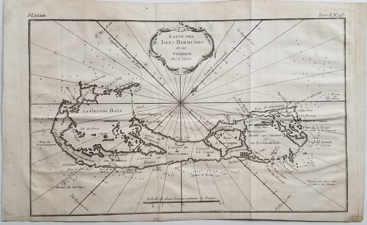
Carte des Isles Bermudes ou de Sommer Tire de l'Anglois.
[Paris.]: From Petit Atlas Maritime. 1764. 8 1/4 x 13." Original fold lines and a bit of waviness. Very good. 8 1/4 x 13. Item #3572
A nicely detailed and well-executed map of Bermuda from the mid-part of the 18th century. The map appeared in Bellin's Petit Atlas Maritime in 1763 and 1764. This is state 2, with the addition of the plate number above the neat line at the upper left. The island's tribes are referred to here as cantons. Hamilton is indicated with a simple icon of twelve blocks. Seven forts are located. Palmer, Printed Maps of Bermuda (2nd edition): p. 9. mapforum.com, Checklist of Printed Maps of Bermuda, 1585-1778: 68.
Price: $750.00
See all items in
Maps & Charts
See all items by Map: Bermuda, Bellin