


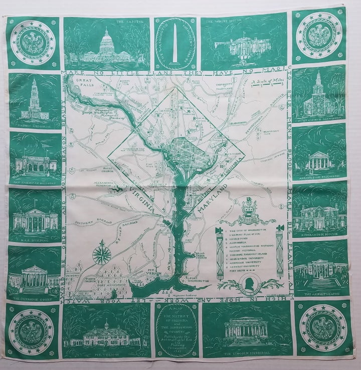
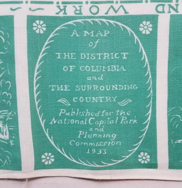
A Map of the District of Columbia and the Surrounding Country.
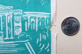
[Washington, DC]: Published for the National Park and Planning Commission. 1933. About 26 x 25." Printed in green on lightweight linen. Overall very clean and bright with a few small, faint stains and a small loss of the stitched hem at lower right. There are small pin holes in the corners of the handkerchief. Item #3690
This charming handkerchief map of the District of Columbia and surrounding area was designed by Maine artist Mildred Burrage. The map was sold by the National Capitol Park and Planning Commission to raise funds for the construction of the George Washington Parkway between Mount Vernon and Great Falls, Virginia.
The map was printed on paper as well as linen; the linen version was offered in six different colors (red, blue, green, plum, brown and terra cotta). The design of the handkerchief shows the area of the L'Enfant plan surrounded by a border of views of prominent landmarks. The map is found in surprisingly few institutional collections according to OCLC -- three institutions hold an example of the map printed on linen and only one has a paper example. Ms. Burrage's papers are held at the Maine Historical Society in Portland and include several folders of her correspondence about the handkerchief map. [ICN 7645.].
Price: $875.00