


![Item #3467 A Map of the White Mountains of New Hampshire 1853. [with] Mt. Washington from North Conway [and four other views]. New Hampshire., George Bond, . Champney, White Mountains., enjamin.](https://bickerstaffs.cdn.bibliopolis.com/pictures/3467.jpg?width=768&height=1000&fit=bounds&auto=webp&v=1672440325)
![A Map of the White Mountains of New Hampshire 1853. [with] Mt. Washington from North Conway [and four other views].](https://bickerstaffs.cdn.bibliopolis.com/pictures/3467_2.jpg?auto=webp&v=1672440325)
![A Map of the White Mountains of New Hampshire 1853. [with] Mt. Washington from North Conway [and four other views].](https://bickerstaffs.cdn.bibliopolis.com/pictures/3467_3.jpg?auto=webp&v=1672440325)
![A Map of the White Mountains of New Hampshire 1853. [with] Mt. Washington from North Conway [and four other views].](https://bickerstaffs.cdn.bibliopolis.com/pictures/3467_4.jpg?auto=webp&v=1672440325)
A Map of the White Mountains of New Hampshire 1853. [with] Mt. Washington from North Conway [and four other views].
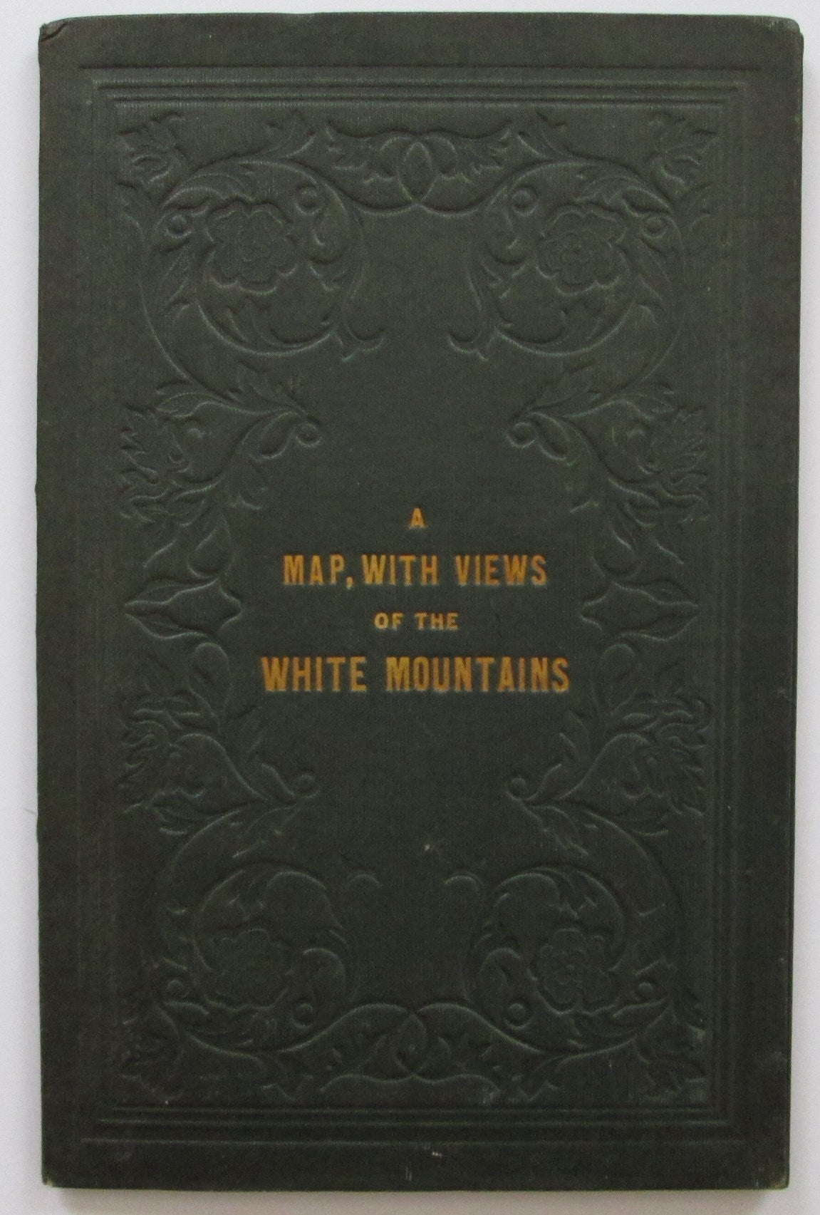
[Cambridge, MA.]: 1853. Dark green cloth-covered folder with gilt title on front board; some scuffing at top 2" of rear board. Foxing or glue staining to tables pasted down on inside of both boards. Map and scenes are bright and quite clean with an occasional spot; folds reinforced. Map: 15 1/4 x 16 3/4. Item #3467
The Bond map and the Champney views are without doubt one of the White Mountains classics. On the Bond map, "[t]he names of the individual peaks of the Presidential Range appear for the first time on any map, as well as the names Cannon Mt., Twin Mts., Carrigain, Tremont, and Giant's Stairs." ( Bent, p.84). Hachure marks are employed to suggest elevation, and Apt notes that this is the first topographic map of the region.
The five lithographed views after Champney are printed on the reverse of the map as called for by Bent. Apt notes that map and views appear on separate sheets in some cases. We do not know the precedence or relative rarity of the two formats.
The front paste-down provides a "Table of Distances" while the rear has a "Table of Heights, Bearings and Distances" of 30 peaks.
References: Apt, Maps of the White Mountains of New Hampshire (Exhibition Catalogue): Map 14, pp. 9-10. Hanrahan [ed.], Bent's Bibliography of the White Mountains: p. 84. Cobb, Maps of New Hampshire to 1900: 206.
Price: $1,250.00